The national recreation area is large
Trailheads, river accesses, historic sites and roads are spread across two states. Build around one cluster and check closures, parking and river conditions with the National Park Service.
Northwest New Jersey
Ridge, river, rock and room to breathe.
41.1290° N · 74.9049° W
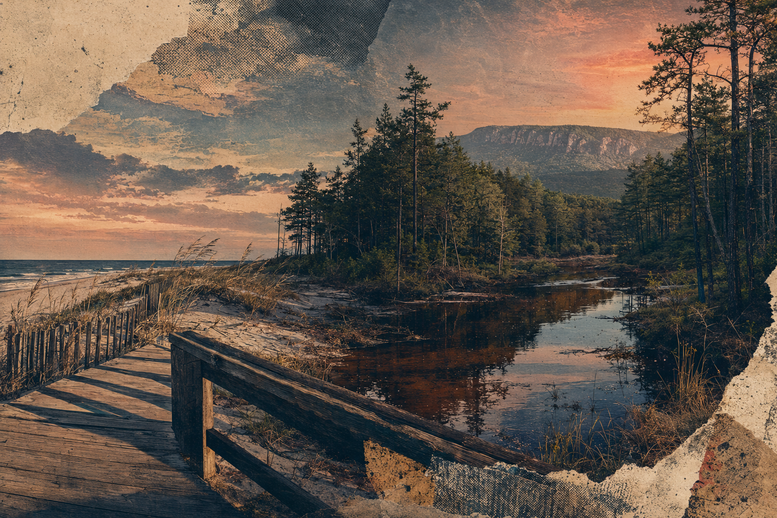
Conceptual editorial artwork
Why this chapter
Northwest New Jersey opens into the Delaware River, Kittatinny Ridge, waterfalls, farms, small towns and trail systems that feel far from the state’s dense eastern corridor.
Check conditions, pick one side of the river, start earlier than feels necessary, and leave the overlook cleaner than you found it.
Best for
Trailheads, river accesses, historic sites and roads are spread across two states. Build around one cluster and check closures, parking and river conditions with the National Park Service.
Elevation, exposed overlooks and valley fog can make conditions differ from nearby towns. Carry layers and turnaround time.
Local food, farms and historic centers add texture, but opening days may be limited. Verify before making one business the hinge of the day.
EAT
Plan meals around the chosen trailhead or river section. Small-town restaurants, farm markets and breweries can be excellent but may keep limited weekly hours.
STAY
MOVE
Most trail and river access requires a car. Parking fills at popular sites, and closures or emergency restrictions can reshape the day.
SEASON
Fall is beautiful and busy. Spring brings water and mud. Summer supports paddling with heat precautions. Winter requires conditions-specific experience.
Local note
Continue nearby
Sources and review
Place guidance is editorial. Hours, access, transit and conditions can change. Verify mutable details directly before traveling.