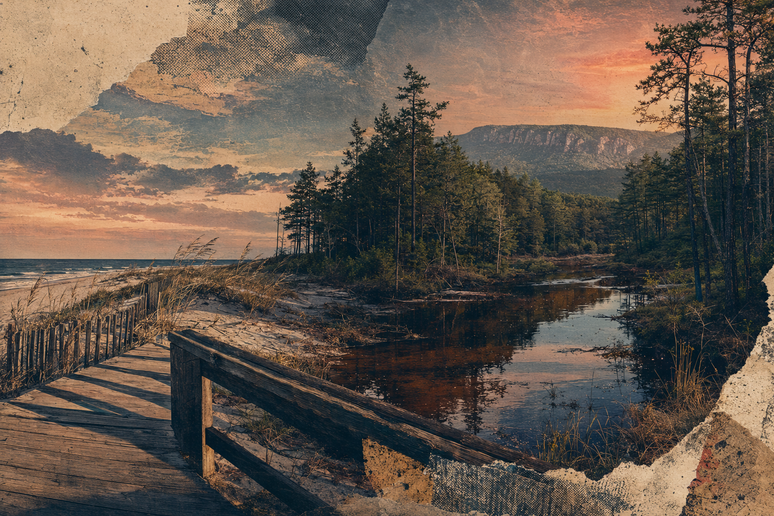
The water looks different here
Cedar-stained rivers wind through the forest and support paddling routes that vary with weather, water level and access. Use experienced outfitters or official guidance.
South Jersey interior
Cedar water, sugar sand and the long way through.
39.6365° N · 74.8024° W
Conceptual editorial artwork
Why this chapter
The Pinelands protect a vast interior landscape of pine forest, tea-colored rivers, rare habitats, farms and historic communities. Hammonton provides a practical food and town center along its western edge.
Pack water, choose one river or trail, drive with patience, and let the scale reveal itself slowly.
Best for
Cedar-stained rivers wind through the forest and support paddling routes that vary with weather, water level and access. Use experienced outfitters or official guidance.
Rare species, historic industries, farms and long-established communities make the Pinelands a cultural landscape as well as a protected ecosystem.
The town connects agricultural identity, food, rail access and local events with the surrounding forest region.
EAT
Build the day around Hammonton restaurants, farm markets and seasonal produce, then carry enough water and food for stretches with fewer services.
STAY
MOVE
Regional rail reaches Hammonton, but most forest destinations require a car, bike or arranged outfitter transport. Cell service can vary.
SEASON
Spring and fall favor long outdoor days. Summer brings heat, insects and thunderstorms. Wildfire, prescribed-burn and trail conditions can change access.
Local note
Continue nearby
Sources and review
Place guidance is editorial. Hours, access, transit and conditions can change. Verify mutable details directly before traveling.